
Finding People Along a Camarillo Street
A useful street directory search moves from a known address to records keyed to the land, then adds historical or personal evidence. Begin with the exact street string and a time window. County View supplies the parcel context. The Assessor can identify the assessed owner and mailing clue. The Recorder follows parties through deeds. City permits date construction work. Historical directories can show a named person or business at an address in a particular edition. Each step answers a narrower question than “who lives here,” so the result is easier to check.
- Enter the full situs address in County View and save the suggested parcel, APN, city layer, and source date.
- Open the Assessor channel and separate the assessed owner, mailing address, parcel value, and situs from any claim about occupancy.
- Search the Recorder index for the current owner as grantee, then search the seller as a prior grantee using the legal description.
- Check the city permit portal for address, project status, applicant or contractor, and inspection dates.
- Use the historical shelf or a directory edition for past names, then corroborate the entry with a deed, census, newspaper, obituary, or probate record.
The order matters. A street name alone can match many parcels, while an APN and legal description help hold the chain together when a subdivision changes.
Camarillo Street Records by Address
Address-keyed records do not form one unified Camarillo street directory. They come from different keepers, with different fields and limits. County View is a map and parcel gateway. The Assessor roll concerns taxable property. The Recorder index concerns recorded instruments. A permit concerns a project. The voter file has statutory access rules. Historical directories capture a particular edition, not a current household.
| Record set | Keeper | Street-level value | Access |
|---|---|---|---|
| County View parcel map | Ventura County GIS | APN, situs, geometry, layers, nearby parcels | Address, APN, or street search |
| Assessor roll | Ventura County Assessor | Assessed owner, mailing clue, values, exemption clue | Property portal or counter |
| Recorded instruments | Ventura County Recorder | Grantor, grantee, date, document, legal description | Index, copy, or appointment |
| City permits | Camarillo Building and Safety | Work description, status, applicant, contractor, dates | Click2Gov or OpenGov; file request |
| Historic directories | Library, State Library, genealogy collections | Edition-specific person or business at an address | Browse, database, or appointment |
Join the rows with the APN, document number, address variant, or date, not with a name alone. That discipline keeps a commercial address, a trustee, and a prior owner from being presented as the same household.
Ventura County View Street Search
County View is the main street-by-street map tool for Camarillo. Address Search uses Assessor situs autocomplete. Find Parcel by APN accepts a single parcel or range. Street Search uses centerline street-name autocomplete. Once a parcel is selected, the viewer can highlight it, show attributes, open additional detail, and use map layers or export tools. The guide also lists print, filter, Google Street View, and Pictometry controls.
Use the map to inspect a street segment rather than assuming that every postal address belongs to the same jurisdiction. Turn on parcel labels and geometry first. Add Cities to test incorporated boundaries, then use land use, zoning, area-plan, school, political, recorded-map, or imagery layers only when they answer the question. The official guide documents parcel maps, records of survey, corner records, aerial overlays, building footprints, and several imagery years.
| Address Search | Autocomplete from Assessor situs values, then select a suggestion. |
|---|---|
| Street Search | Autocomplete the centerline street name to view a corridor. |
| Find Parcel by APN | Use a full or ranged parcel identifier with autocomplete. |
| Layers | Parcels, cities, aerials, land use, districts, schools, zoning, and recorded maps. |
County View parcel search is the direct address, APN, and street route. The Ventura County GIS gateway frames the viewer, and the County View user guide explains the layer and search controls.
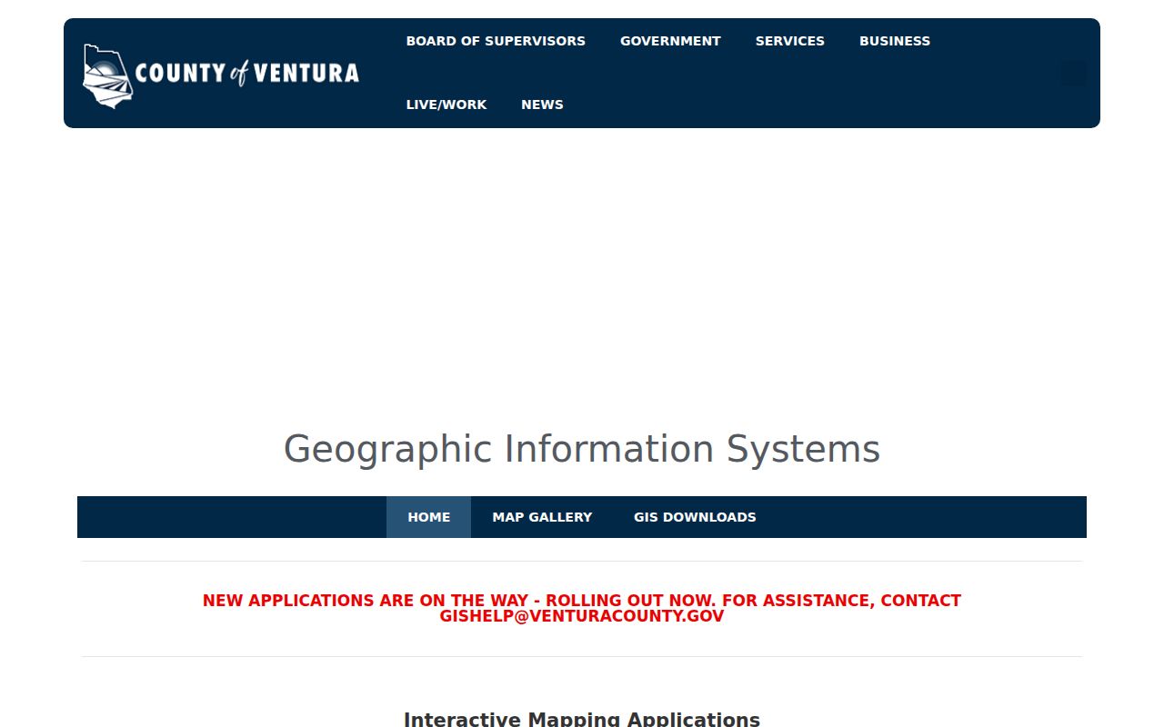
The County View image belongs to the address stage of a Camarillo street directory search, before names are carried into other records.
Camarillo Situs, Mail, and Title
Three address fields can answer different questions. The situs is the physical parcel. The mailing address is where tax or assessment correspondence goes. The legal description is the title bridge. A Camarillo street directory search should record all three when the Assessor or Recorder makes them available.
- Parcel
- A mapped unit of land identified by an APN and related map data.
- Situs address
- The physical location of the land or building, used by County View’s address search.
- Plat or recorded map
- A recorded drawing that can show lots, blocks, boundaries, and subdivision relationships.
- Criss-cross directory
- A street-order directory section that can reverse a street address into a named entry when the exact volume contains one.
The Ventura Assessor form distinguishes property location from old and new mailing address and displays an APN pattern of XXX-X-XXX-XXX. A property can carry a mailing address for a trust, business, manager, or post office box. That fact is useful for title research but is not proof of present occupancy. The county’s Assessor and tax-office explanation describes the annual and supplemental roll context.
Camarillo Permit Records by Address
Camarillo’s permit history has two portal eras. On July 1, 2025, new applications moved to OpenGov. The legacy Click2Gov system still matters for older active permits and inspections. A street directory search that stops at one portal may mistake a system change for a missing record.
The legacy form can search by application number, address, parcel components, or name. The address route separates street number, direction, street name, search type, and suffix. The parcel route offers book, hold, page-block, lot, tract-phase, map, and alternate components. The name route has match controls and segmented name fields. Dropdown values and the first legacy year were not exposed in the official inspection, so complete historical coverage is not established.
Permit results may connect an applicant, contractor, or owner to a project, with a description, status, issue or final date, and inspection events. They date physical changes. They do not identify every person who used the address. Building and Safety or the City Clerk can be asked for an identified, nonexempt underlying permit file when the summary is not enough.
The legacy Camarillo Click2Gov search and the current city permitting page should be checked together.
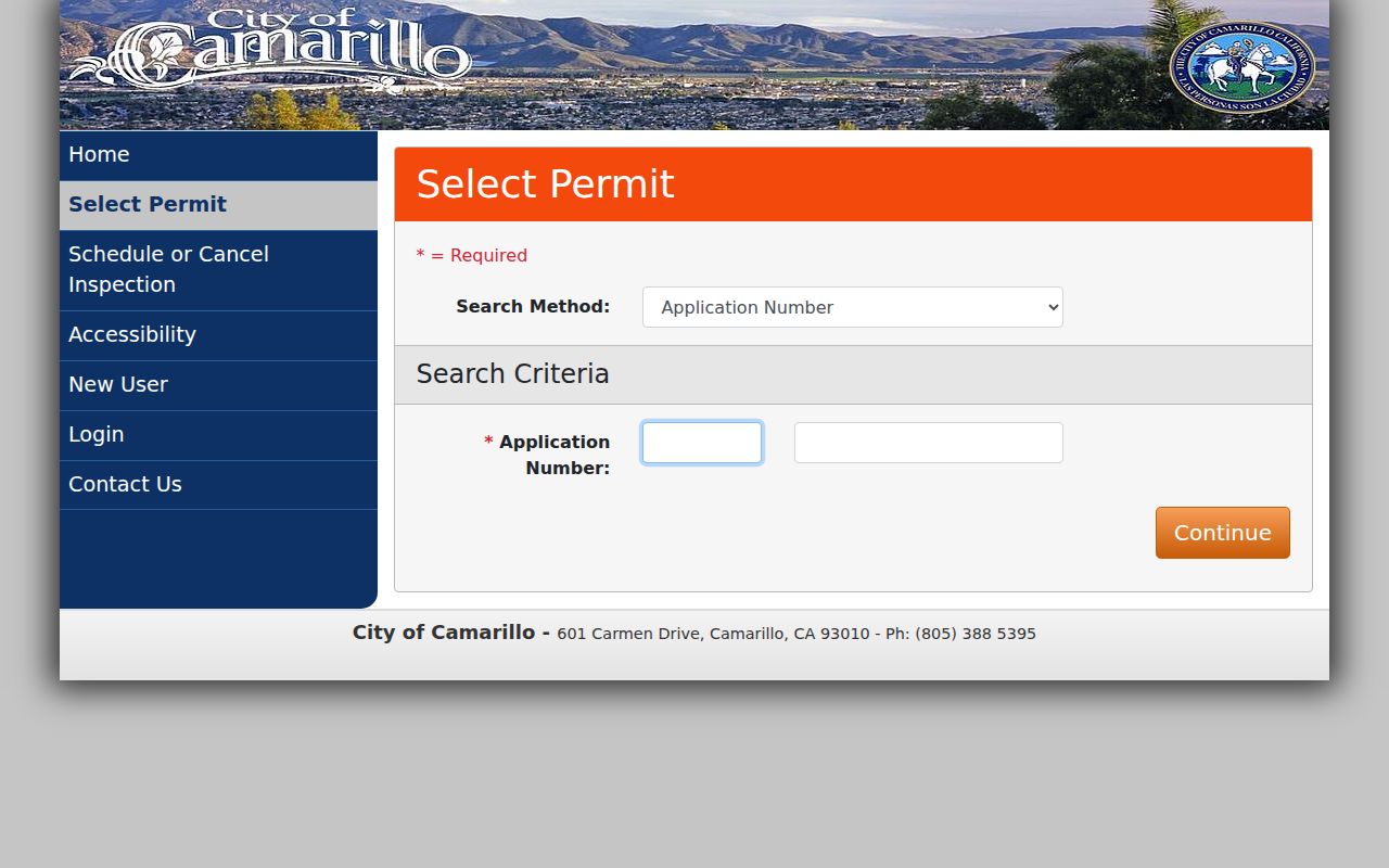
The older form is valuable for an active permit that began before the 2025 migration, but its visible fields do not prove a resident.
The current Camarillo permitting gateway is shown below as the post-July 2025 intake route.
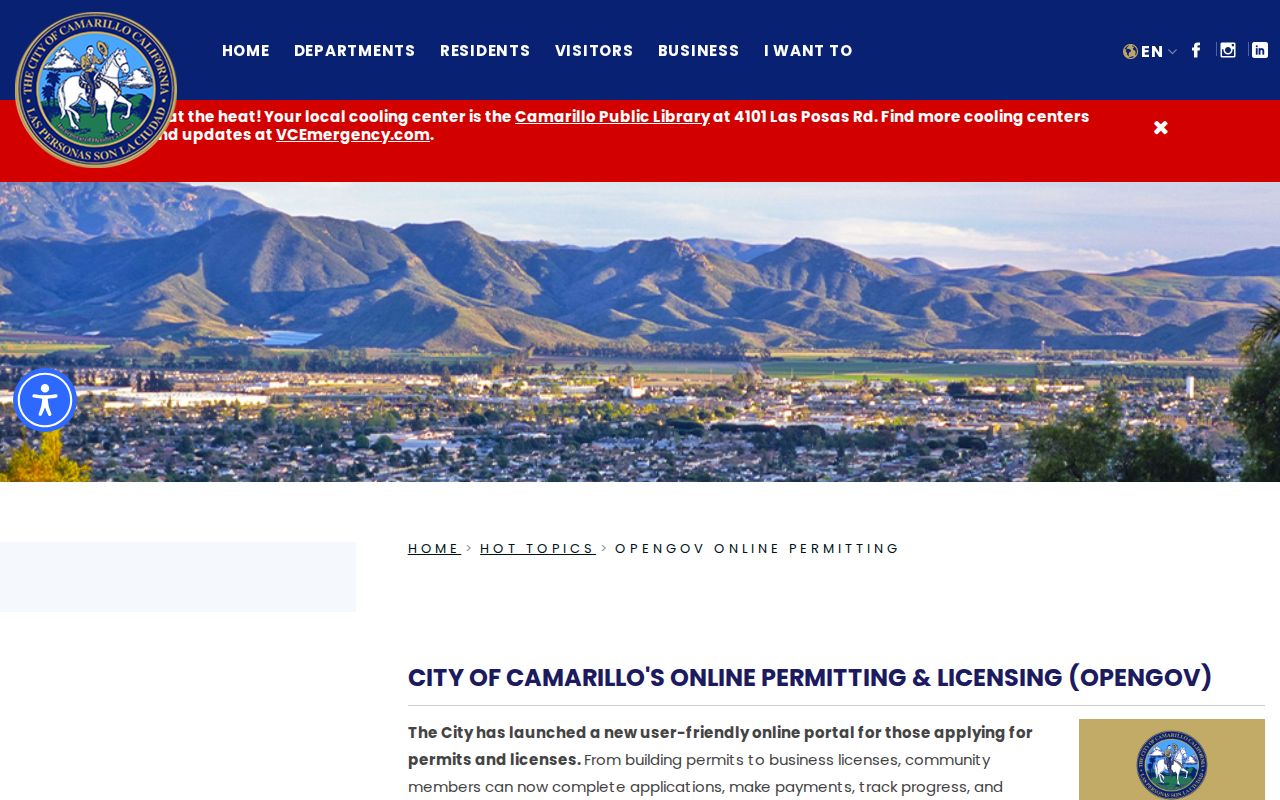
The newer city gateway marks the current intake path and helps explain why a search may need both systems.
Trace Ownership Along Camarillo Streets
Once County View supplies an APN, move to the Recorder’s grantor-grantee index. Capture the current owner as a grantee, the seller as a grantor, the recording date, document number, instrument type, and exact legal description. Then search the seller as an earlier grantee and repeat. If the parcel split or combined, use previous APN, tract, map, lot, block, and the Record Maps layer before following the next deed.
- Resolve the modern street address to the APN and confirm the city or unincorporated layer.
- Find the purchase instrument and compare its legal description with the parcel record.
- Search the grantor as a prior owner, testing spelling variants and both party roles.
- Retrieve the underlying instrument when the index label is not enough.
- Stop or change jurisdiction when a pre-1873 record belongs in Santa Barbara County material.
The Recorder’s online cutoff was not verified. The county’s self-service disclaimer calls the index a guide rather than the document and recommends spelling variants and other criteria. Use the Ventura counter, copy route, or appointment for a missing or image-restricted instrument. A title chain establishes recorded interests, not every person who lived on the street.
Camarillo Parcel Layers and Splits
The GIS field schema can expose APN, status, document number and date, situs components, tract, map, book, page, block, parcel, zoning, acreage, land and improvement value, sale price, transfer year, neighborhood code, and improvement square footage. Related zoning data can include a previous APN, lot or sublot, condo reference, building, unit, and sale or effective-document dates. A field in the schema is not a promise that the ordinary popup displays it, and an owner-name GIS field should not be assumed.
Subdivisions and condominium parcels require extra care. A common parcel, unit APN, and street address can represent different legal interests. A vacant, industrial, public, or open parcel can border a home in the map buffer without holding a household. Use the recorded map and Assessor detail before describing a parcel relationship.
Note: A new APN is a research signal, not a new person; follow the map, legal description, and record date before drawing a conclusion.
Read an Old Camarillo Street
Historical street evidence is edition-specific. Verified local citations include the Ventura County California Directory for 1959 and 1960, plus city-directory evidence for 1964/65 and 1970. The accessible research did not establish a full Camarillo publisher run, an exact household entry, or a guaranteed reverse section. Search the printed page as it appears, record the street spelling, and check the volume’s own key.
Old addresses may carry a different ZIP, community label, direction, or suffix. Camarillo incorporated in 1964, and ZIP 93012 was established in 1990. Planned areas such as Village at the Park, Camarillo Commons, and Springville postdate the verified 1970 directory evidence. Pair an old street entry with a legal description, census schedule, newspaper, obituary, school yearbook, or probate record before treating it as a household timeline.
For the collections, year runs, and shelf contacts, use the Camarillo city directory page. For a name-centered identity question, the resident lookup workflow is the better next angle.
Camarillo Streets, ZIPs, and City Limits
Postal Camarillo and incorporated Camarillo do not always match. ZIP 93012 reaches CSUCI, yet a postal city does not prove that a parcel lies inside the city boundary. ZIP 93011 is a post-office-box function and cannot anchor a parcel. ZIP 93010 serves central, west, and north areas. Use USPS for an exact delivery result, then County View’s Cities layer for jurisdiction.
City subdivision conditions require proposed street names and address-number plans to go through Ventura County Fire Protection District before recordation, with numbers posted before occupancy. No authoritative citywide quadrant-origin or mass-renumbering schedule was located. When a street search fails, try abbreviated and expanded suffixes, remove the ZIP, test older community labels, and move from street text to APN and recorded maps.
The USPS address lookup can standardize one address, but it cannot replace the city boundary layer or the Assessor’s parcel record.
What a Camarillo Street Directory Misses
A street directory can miss nonowners, shared households, people using a protected address, and anyone absent from the record set being searched. The Assessor names an assessed owner. A deed names recorded parties. A permit names project participants. A historical directory names an entry at one point in time. None is a guaranteed list of current occupants. California voter information is restricted, and DMV, utility, delivery, complainant, and witness data are not open street sources.
Lawful use. Use Camarillo address records for personal research, family history, property curiosity, or civic work. Do not use a street trail to stalk, harass, intimidate, threaten, or expose another person.
The best check is a narrow one. Keep the parcel or document number, date the result, and ask the custodian about the record itself. When a nonexempt city or county record is not online, the California Public Records Act request guidance explains the fallback. If the goal shifts from a whole street to one person, use a name-centered resident lookup and corroborate role, date, city, and address type.